Oddly enough a countries midpoint is rarely in easy-to-reach places, and the geographic midpoint of Flanders is no exception. What does set this one apart from many of its counterparts however, is the fact that it was derived as a homework assignment.
The midpoint was derived in February 1999 by a group of students under the guidance of Prof. Van Der Waeteren. While now this may be a relatively easy thing to do, back in those days this included over 120 hours of work including travel to the provincial borders with a GPS to mark the coordinates of the extreme points. Eventually, the location was determined to be at 51° 2’ 16” N, 4° 14’ 26” E, the edge of the province of Oost-Vlaanderen right next to a provincial triple point.
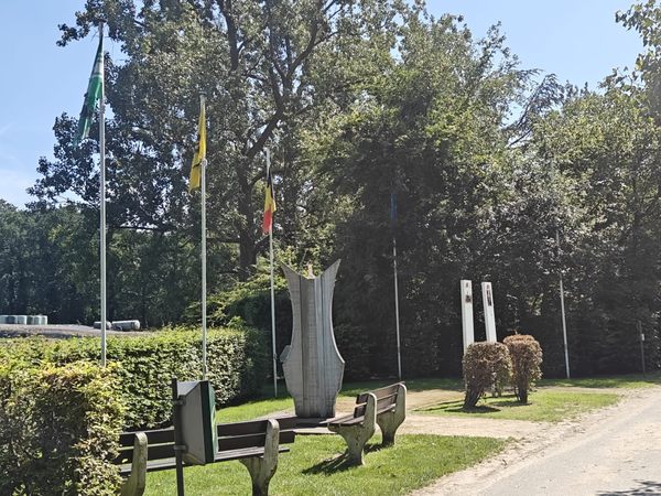
Not much happened for several years, but a marker was built by Roger Van Den Eedea, local sculptor. This marker was then erected close to an existing road several meters from the actual midpoint, as the farmer who owned the land did not want to have the statue in the middle of his field.
Sadly, the names of the students seem to have been lost to time, as the sign next to the marker reads:
Geographic midpoint of FlandersCalculated in 1999 by Prof. Theodoor Van der WaeterenOf K.U. Leuven together with4 civil engineering students and their supervisor
Official inauguration by the municipal council on the 25th of May, 2003.